File:South Sudan location map.svg

Original file (SVG file, nominally 1,561 × 1,133 pixels, file size: 205 KB)
| This free media file is from Wikimedia Commons. Its description page is included below. |
Summary
| Description |
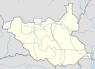
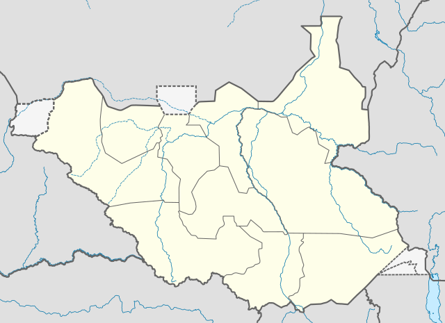
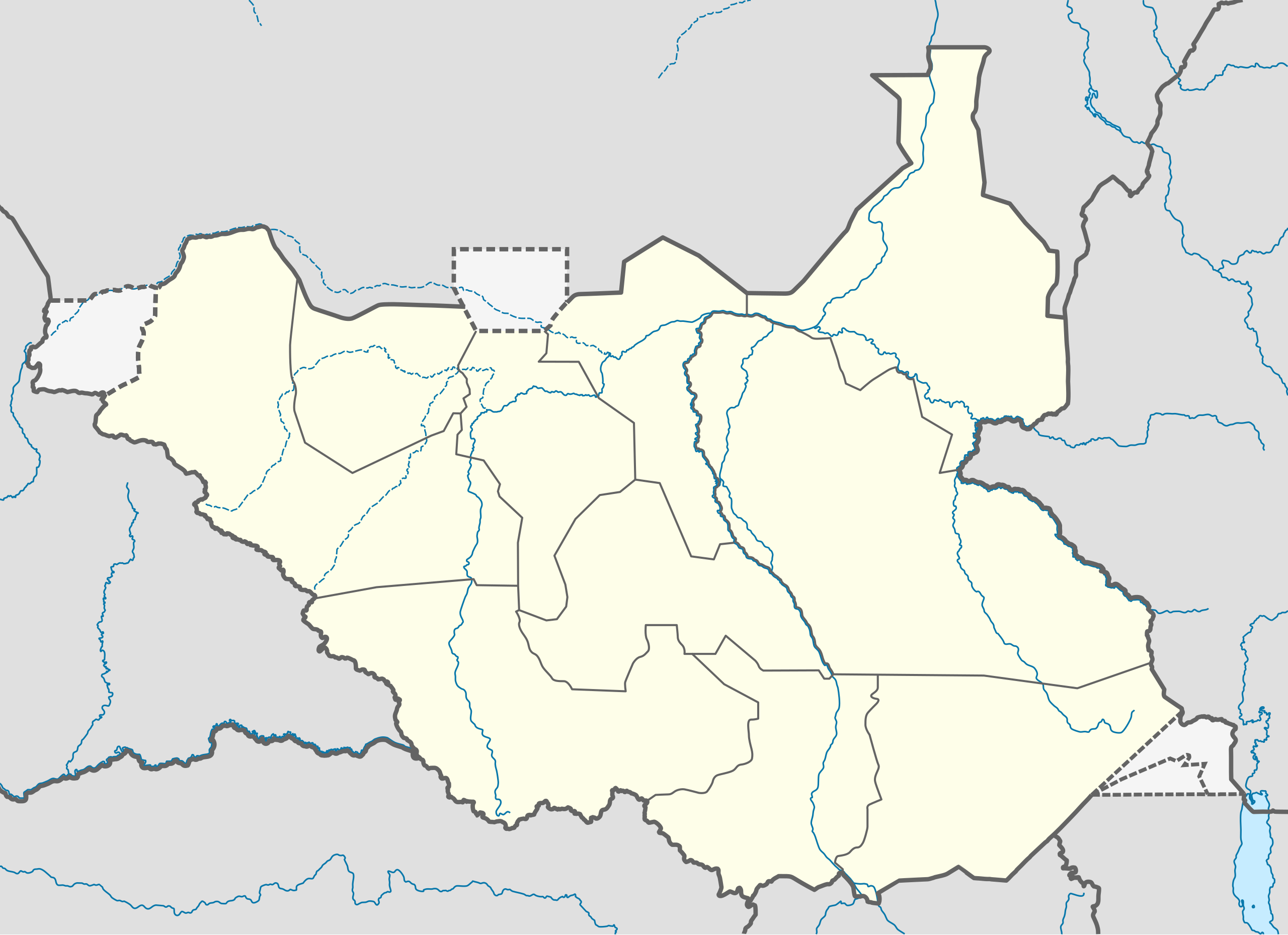
Deutsch: Positionskarte vom Südsudan
Quadratische Plattkarte, N-S-Streckung 101 %. Geographische Begrenzung der Karte:
English: Location map of South Sudan
Equirectangular projection, N/S stretching 101 %. Geographic limits of the map:
|
|
| Date | ||
| Source |
Own work, using
|
|
| Author | NordNordWest | |
| Permission (Reusing this file) |
This file is licensed under the Creative Commons Attribution-Share Alike 3.0 Germany license.
 This file is licensed under the Creative Commons Attribution-Share Alike 3.0 Unported license.
|
|
| Other versions |
Derivative works of this file: File:South Sudan location green map.svg |


|
This map has been made or improved in the German Kartenwerkstatt (Map Lab). You can propose maps to improve as well.
|
File history
Click on a date/time to view the file as it appeared at that time.
| Date/Time | Thumbnail | Dimensions | User | Comment | |
|---|---|---|---|---|---|
| current | 08:21, 18 August 2011 | | 1,561 × 1,133 (205 KB) | Spesh531 | I am reverting and fixing all of the templates ot the best of my ability, I can need some help |
| 07:53, 18 August 2011 |  | 1,500 × 1,133 (171 KB) | NordNordWest | you cannot change the area that is shown without adjusting all templates in which this map is used | |
| 23:20, 17 August 2011 |  | 1,561 × 1,133 (205 KB) | Spesh531 | adding a disputed territory | |
| 11:42, 18 July 2011 |  | 1,500 × 1,133 (171 KB) | NordNordWest | corr | |
| 12:04, 8 July 2011 |  | 1,500 × 1,133 (172 KB) | NordNordWest | upd | |
| 14:23, 18 February 2011 |  | 1,500 × 1,133 (178 KB) | NordNordWest | =={{int:filedesc}}== {{Information |Description= {{de|Positionskarte vom Südsudan}} Quadratische Plattkarte, N-S-Streckung 101 %. Geographische Begrenzung der Karte: * N: 12.7° N * S: 3.2° N * W: 23.7° O * O: 36.4° O {{en|Location m |
File usage
No pages on the English Wikinews link to this file. Pages on other Wikimedia projects are not listed here.
Global file usage
The following other wikis use this file:
- Usage on af.wikipedia.org
- Usage on ar.wikipedia.org
- Usage on bn.wikipedia.org
- Usage on ckb.wikipedia.org
- Usage on da.wikipedia.org
- Usage on de.wikipedia.org
- Usage on en.wikipedia.org
- Usage on eo.wikipedia.org
- Usage on es.wikipedia.org
- Usage on eu.wikipedia.org
- Usage on fa.wikipedia.org
- Usage on frr.wikipedia.org
- Usage on gl.wikipedia.org
- Usage on hy.wikipedia.org
- Usage on id.wikipedia.org
- Usage on incubator.wikimedia.org
- Usage on it.wikipedia.org
View more global usage of this file.