File:Province of Manicaland.svg

Size of this PNG preview of this SVG file: 250 × 228 pixels. Other resolutions: 263 × 240 pixels | 526 × 480 pixels | 842 × 768 pixels | 1,123 × 1,024 pixels | 2,246 × 2,048 pixels.
Original file (SVG file, nominally 250 × 228 pixels, file size: 30 KB)
| This free media file is from Wikimedia Commons. Its description page is included below. |
Summary
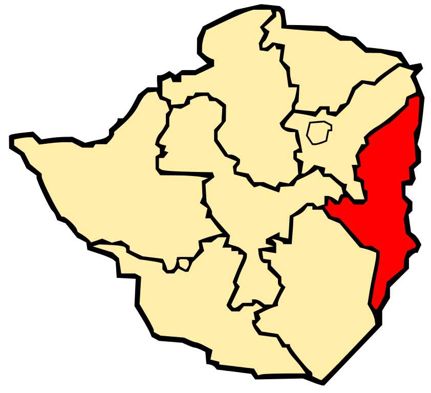
| Description | Map of Zimbabwe showing the province of Manicaland |
| Date | |
| Source | Image:Zimbabwe Provinces Manicaland 250px.png |
| Author | Mangwanani using Inkscape |
| Other versions | Image:Zimbabwe Provinces Manicaland 250px.png |
Licensing
| I, the copyright holder of this work, release this work into the public domain. This applies worldwide. In some countries this may not be legally possible; if so: I grant anyone the right to use this work for any purpose, without any conditions, unless such conditions are required by law. |
File history
Click on a date/time to view the file as it appeared at that time.
| Date/Time | Thumbnail | Dimensions | User | Comment | |
|---|---|---|---|---|---|
| current | 16:59, 3 March 2008 | | 250 × 228 (30 KB) | Mangwanani | {{Information |Description=Map of Zimbabwe showing the province of Manicaland |Source=Image:Zimbabwe Provinces Manicaland 250px.png |Date=3 March 2008 |Author=Mangwanani using Inkscape |Permission= |other_versions=[[:Image:Zimbabwe Provinces Manicala |
File usage
The following page uses this file:
Global file usage
The following other wikis use this file:
- Usage on af.wikipedia.org
- Usage on bg.wikipedia.org
- Usage on da.wikipedia.org
- Usage on es.wikinews.org
- Usage on id.wikipedia.org
- Usage on ko.wikipedia.org
- Usage on mrj.wikipedia.org
- Usage on ms.wikipedia.org
- Usage on pl.wikipedia.org
- Usage on ro.wikipedia.org
- Usage on sr.wikipedia.org
- Usage on sv.wikipedia.org
- Usage on uk.wikipedia.org