File:KLEX Blue Grass Airport.jpg
Size of this preview: 553 × 599 pixels. Other resolutions: 221 × 240 pixels | 443 × 480 pixels | 709 × 768 pixels | 945 × 1,024 pixels | 1,890 × 2,048 pixels | 7,200 × 7,800 pixels.
Original file (7,200 × 7,800 pixels, file size: 6.78 MB, MIME type: image/jpeg)
| This free media file is from Wikimedia Commons. Its description page is included below. |
| Warning | The original file is very high-resolution. It might not load properly or could cause your browser to freeze when opened at full size. |
|---|
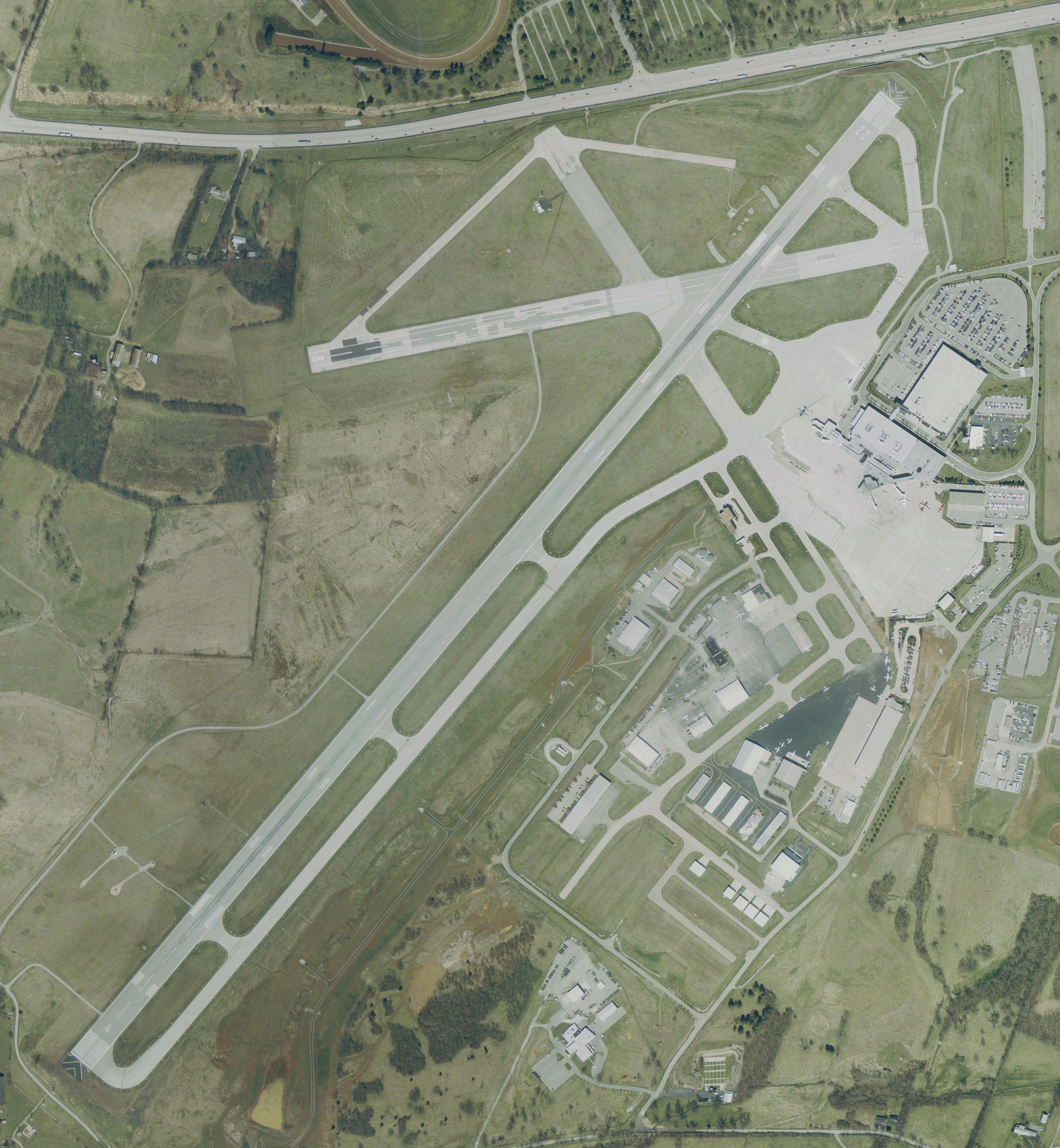
| Description | USGS urban ortho of Blue Grass Airport, Kentucky, USA. | |||
| Date | Base map, April 2, 2002 | |||
| Source | Extracted via USA Photomaps software | |||
| Author | PD USGS basemap as extracted by Dual Freq. | |||
| Permission (Reusing this file) |
|
|||
| Other versions | Image:KLEX USGS Comair Paths.jpg is a reduced size version with annotation |
File history
Click on a date/time to view the file as it appeared at that time.
| Date/Time | Thumbnail | Dimensions | User | Comment | |
|---|---|---|---|---|---|
| current | 11:08, 30 August 2006 | | 7,200 × 7,800 (6.78 MB) | Dual Freq | {{Information |Description=USGS urban ortho of Blue Grass Airport, Kentucky, USA. |Source=Extracted via USA Photomaps software |Date=Base map, April 2, 2002 |Author=Path data is approximate and was overla |
File usage
The following page uses this file:
Global file usage
The following other wikis use this file:
- Usage on arz.wikipedia.org
- Usage on ceb.wikipedia.org
- Usage on de.wikipedia.org
- Usage on de.wikivoyage.org
- Usage on en.wikivoyage.org
- Usage on fa.wikipedia.org
- Usage on fr.wikivoyage.org
- Usage on it.wikivoyage.org
- Usage on ja.wikipedia.org
- Usage on tg.wikipedia.org
- Usage on tr.wikipedia.org
- Usage on www.wikidata.org