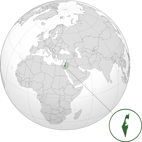
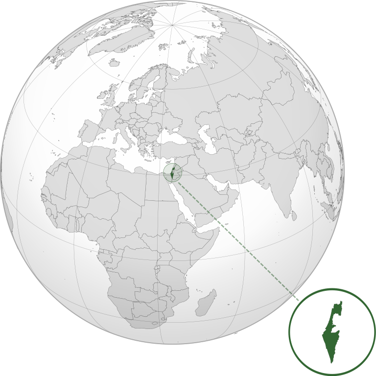
File:ISR orthographic.svg

Size of this PNG preview of this SVG file: 600 × 600 pixels. Other resolutions: 240 × 240 pixels | 480 × 480 pixels | 768 × 768 pixels | 1,024 × 1,024 pixels | 2,048 × 2,048 pixels.
Original file (SVG file, nominally 600 × 600 pixels, file size: 1.39 MB)
| This free media file is from Wikimedia Commons. Its description page is included below. |
Summary
| Description | |
| Date | |
| Source |
Own work with Natural Earth Data This W3C-unspecified vector image was created with Inkscape . |
| Author | Addicted04 |
Licensing
I, the copyright holder of this work, hereby publish it under the following license:
This file is licensed under the Creative Commons Attribution-Share Alike 3.0 Unported license.
- You are free:
- to share – to copy, distribute and transmit the work
- to remix – to adapt the work
- Under the following conditions:
- attribution – You must give appropriate credit, provide a link to the license, and indicate if changes were made. You may do so in any reasonable manner, but not in any way that suggests the licensor endorses you or your use.
- share alike – If you remix, transform, or build upon the material, you must distribute your contributions under the same or compatible license as the original.
File history
Click on a date/time to view the file as it appeared at that time.
| Date/Time | Thumbnail | Dimensions | User | Comment | |
|---|---|---|---|---|---|
| current | 03:46, 17 March 2022 | | 600 × 600 (1.39 MB) | Chaddy | Reverted to version as of 06:27, 24 March 2019 (UTC), there is already another map for the disputed borders: File:Israel (orthographic projection) with disputed territories.svg |
| 09:48, 10 March 2022 |  | 600 × 600 (1.4 MB) | Beshogur | Reverted to version as of 06:25, 24 March 2019 (UTC) | |
| 06:27, 24 March 2019 |  | 600 × 600 (1.39 MB) | BlueHypercane761 | Reverted to version as of 22:09, 21 September 2016 (UTC) Self-revert. As legitimate as this revision is, I will split it off into a new image file. | |
| 06:25, 24 March 2019 |  | 600 × 600 (1.4 MB) | BlueHypercane761 | Restoring previous revision temporarily to retrieve image. | |
| 22:09, 21 September 2016 |  | 600 × 600 (1.39 MB) | Nableezy | make a new map, this one is fine | |
| 18:50, 16 September 2016 |  | 600 × 600 (1.4 MB) | Bolter21 | added disputed territories | |
| 03:06, 8 July 2012 |  | 600 × 600 (1.39 MB) | Addicted04 | America land | |
| 02:42, 8 July 2012 |  | 600 × 600 (1.39 MB) | Addicted04 |
_with_disputed_territories.svg)
File usage
No pages on the English Wikinews link to this file. Pages on other Wikimedia projects are not listed here.
Global file usage
The following other wikis use this file:
- Usage on af.wikipedia.org
- Usage on am.wikipedia.org
- Usage on arc.wikipedia.org
- Usage on av.wikipedia.org
- Usage on ay.wikipedia.org
- Usage on azb.wikipedia.org
- Usage on az.wiktionary.org
- Usage on ban.wikipedia.org
- Usage on bbc.wikipedia.org
- Usage on bcl.wikipedia.org
- Usage on bg.wikipedia.org
- Usage on bh.wikipedia.org
- Usage on bi.wikipedia.org
- Usage on bn.wikipedia.org
- Usage on bs.wikipedia.org
- Usage on bxr.wikipedia.org
- Usage on cdo.wikipedia.org
- Usage on ceb.wikipedia.org
- Usage on chr.wikipedia.org
- Usage on ckb.wikipedia.org
- Usage on cs.wikipedia.org
- Usage on da.wikipedia.org
- Usage on dty.wikipedia.org
- Usage on el.wikipedia.org
- Usage on en.wikipedia.org
- Usage on en.wikibooks.org
- Usage on es.wikipedia.org
- Usage on eu.wikipedia.org
- Usage on fi.wikipedia.org
- Usage on fr.wikipedia.org
- Usage on gn.wikipedia.org
- Usage on gu.wikipedia.org
- Usage on gv.wikipedia.org
- Usage on hak.wikipedia.org
- Usage on hr.wikipedia.org
- Usage on hy.wikipedia.org
- Usage on id.wikipedia.org
- Usage on ie.wikipedia.org
- Usage on incubator.wikimedia.org
View more global usage of this file.