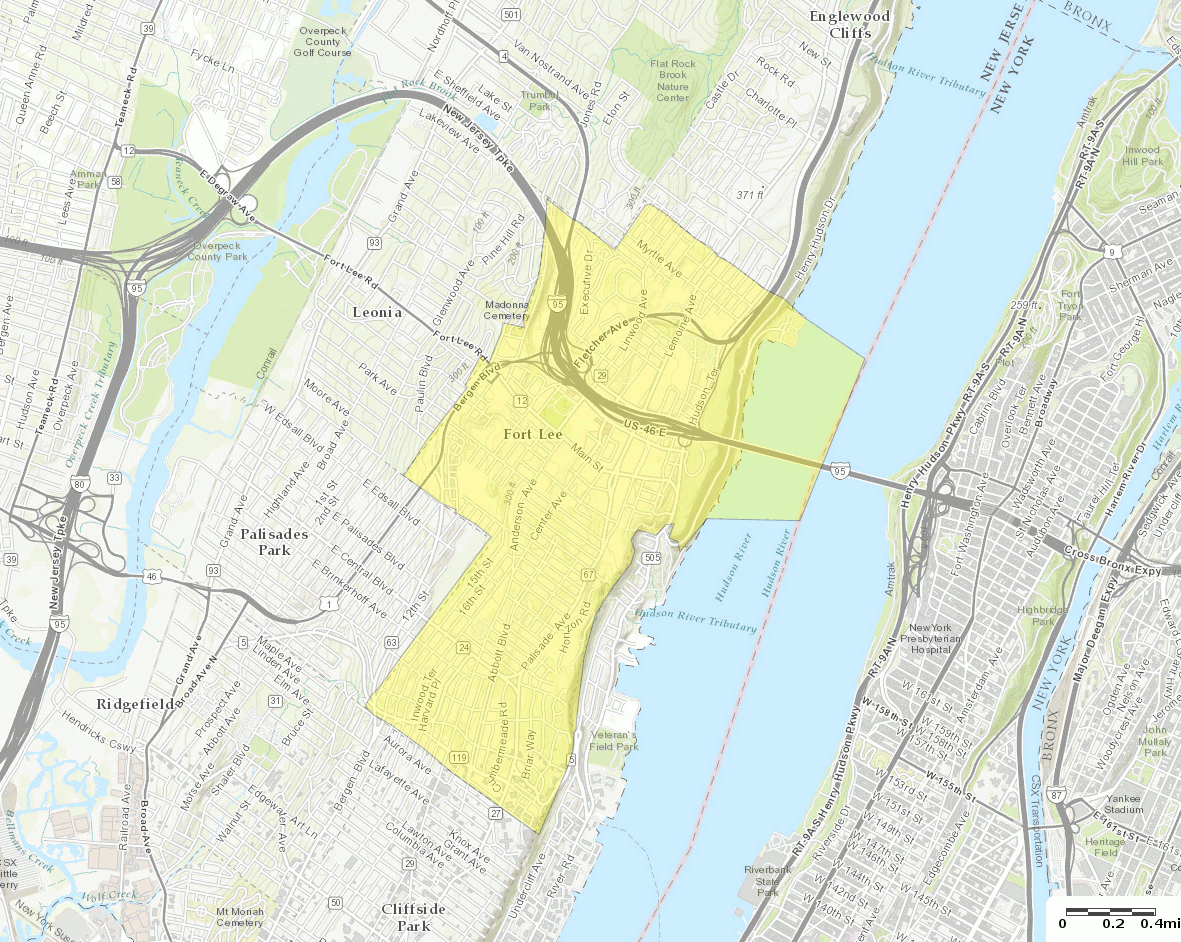
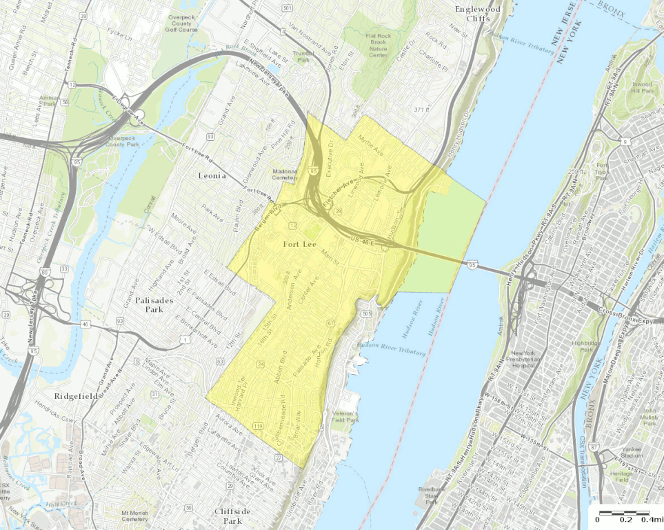
File:Census Bureau map of Fort Lee, New Jersey (2).gif
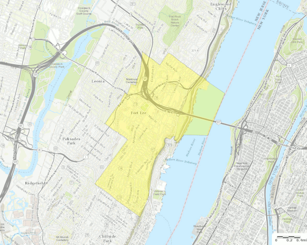
Size of this preview: 752 × 600 pixels. Other resolutions: 301 × 240 pixels | 602 × 480 pixels | 963 × 768 pixels | 1,181 × 942 pixels.
Original file (1,181 × 942 pixels, file size: 751 KB, MIME type: image/gif, 0.1 s)
| This free media file is from Wikimedia Commons. Its description page is included below. |
.gif)
Summary
| Description |
English: U.S. Census Bureau map of Fort Lee, New Jersey |
| Date | |
| Source | http://factfinder.census.gov |
| Author | United States Census Bureau |
| Other versions |
 |
Licensing
This image or file is a work of a United States Census Bureau employee, taken or made as part of that person's official duties. As a work of the U.S. federal government, the image is in the public domain.
|
 |
File history
Click on a date/time to view the file as it appeared at that time.
| Date/Time | Thumbnail | Dimensions | User | Comment | |
|---|---|---|---|---|---|
| current | 20:58, 13 October 2016 | | 1,181 × 942 (751 KB) | BurritoBazooka | a tad smaller, now that I can see it in the articles |
| 20:49, 13 October 2016 |  | 1,787 × 1,300 (1.61 MB) | BurritoBazooka | larger map (but showing about the same surrounding boroughs), with roads labelled and important roads more clearly visible. Primary reason for new upload: to show importance of I-95. |
File usage
No pages on the English Wikinews link to this file. Pages on other Wikimedia projects are not listed here.
Global file usage
The following other wikis use this file:
- Usage on en.wikipedia.org
- Usage on fa.wikipedia.org
- Usage on fr.wikipedia.org
- Usage on ja.wikipedia.org
- Usage on sh.wikipedia.org
- Usage on ur.wikipedia.org
.gif)